
Now Reading: Showers possible until Tuesday for L.A. How much rain has fallen?
-
01
Showers possible until Tuesday for L.A. How much rain has fallen?
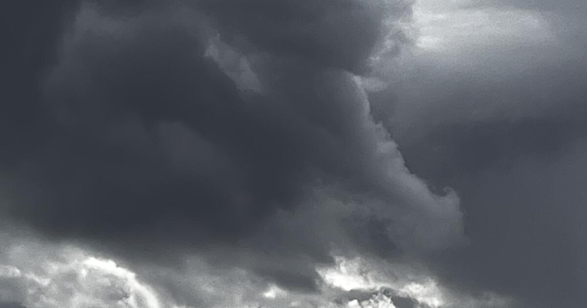
With rains beginning to subside Monday morning, most flash flood and debris flow warnings were expiring across Southern California’s burn areas, but forecasters said a chance of thunderstorms and showers would remain through the day.
The Hughes burn scar, which includes Santa Clarita, Acton and Lake Castaic, remained under a flood watch until 10 a.m., as the cold, wet system slowly moved over the region. The possibility for isolated showers will remain across the Los Angeles Basin into Tuesday.
High-intensity rain — more than half an inch per hour — can wreak havoc on burned areas, increasing the likelihood of flooding and landslides on soil made water-repellent by fire.
Ahead of the storm, the National Weather Service issued flood watches for the Palisades, Eaton, Hughes, Franklin and Bridge fire burn scars.
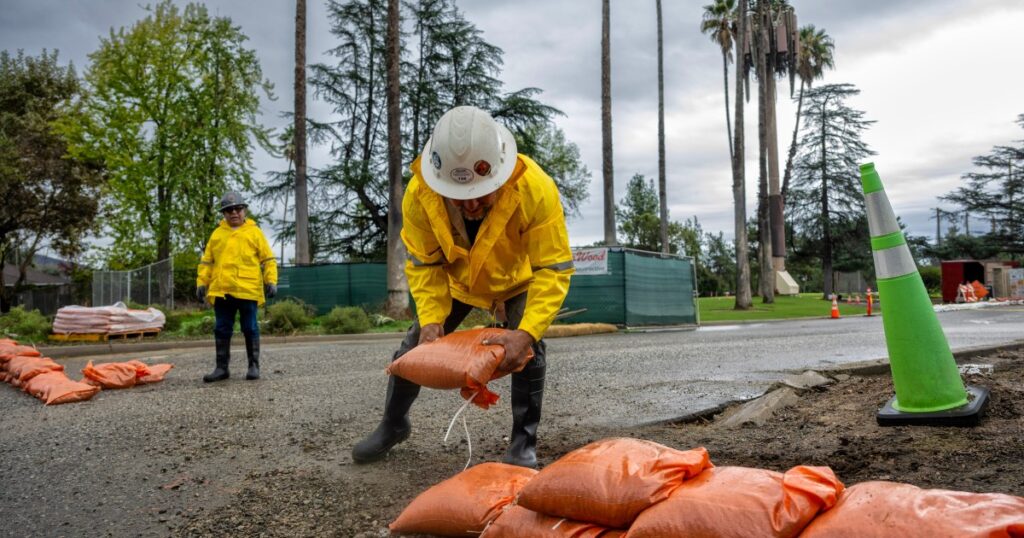
At a town hall Sunday, officials told those affected by the Palisades fire that the L.A. County Department of Public Works had installed 15,000 K-rail barriers and 50,000 sandbags in the burn area to protect properties and the environment.
As of Monday morning, reports of only minor issues related to the storm were trickling in.
Rainfall rates of 0.39 inches per hour were reported near Pepperdine University on Sunday night, with higher rates likely occurring elsewhere.
Flooding briefly shut down the 101 Freeway in downtown early Monday, while KABC-TV News captured residents working to free vehicles trapped in thick mud in Woodland Hills.
Most of the region received some measurable amount of rainfall from the storm — the first decent precipitation the region has seen in months. Parts of Los Angeles received more than an inch and a half as of 4 a.m. Monday, while other areas, like Castaic, saw less than half an inch.
Porter Ranch had the highest confirmed two-day rain total in L.A. County, with 1.62 inches, according to the National Weather Service.
A weather service station at Eaton Dam, near the Eaton fire burn scar, recorded two-tenths of an inch of rain by early Monday. A Monte Nido station — in the Santa Monica Mountains near the Palisades fire burn scar — recorded 1.55 inches.
At the same time, the mountains across the region received around a foot of snow. Interstate 5 through the Grapevine was closed Monday morning as a result.
Here are other rain totals for the region for the last 48 hours, as of 4 a.m. Monday.
Coast-Metropolitan
- Monte Nido: 1.10 inches
- Santa Monica Pier: 1.38
- Bel Air: 0.93
- Culver City: 1.05
- Beverly Hills: 1.02
- Hollywood Reservoir: 0.87
- Downtown L.A.: 0.54
Valleys
- Eaton Wash Dam: 0.20 inch
- Northridge: 1.36
- Agoura Hills: 1.15
- Canoga Park: 1.10
- Sepulveda Canyon: 0.89
- Hansen Dam: 0.98
- La Canada Flintridge: 0.57
- Eagle Rock Reservoir: 0.59
- Mt. Olive High School: 0.26
- Alhambra: 0.48
- Claremont: 0.72
- Newhall: 0.75
- Whittier: 0.59
Related Posts


Stay Informed With the Latest & Most Important News
Previous Post
Next Post


Advertisement